
Perched atop a ridge in the brushy Black Hills, overlooking Danville, is Oyster Point. Despite an elevation of just 2,106 feet, this area high point offers an impressive view of Mount Diablo, as well as a stunning panorama of the Tri-Valley and its rolling hills. Tucked away in the southeastern section of Mt. Diablo State Park, this area sees less traffic than other parts of the park, allowing you to take in the vistas with a sense of seclusion.
Details
- Total distance: 8 miles, out & back
- Time: 3-4 hours
- Difficulty: Moderate
- Highlights:
- views
- meadows
- wildflowers
- wildlife
- Parking: Park along Finley Road (about a half mile back from the trailhead/big brown gate.)
- Notes:
- Poison oak is plentiful, but never really encroaching on the trail.
- Mountain bikers are frequent, so be alert.
- Can get very hot/dry in the summer. Bring plenty of water.
- RESPECT the residents and their animals! DO NOT park at the end of the road!
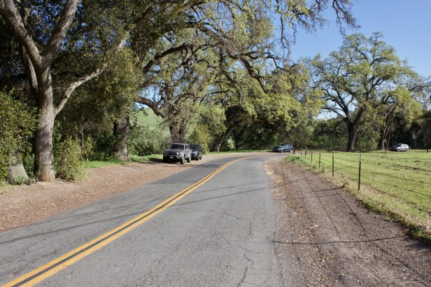
The first three quarters of a mile consists of road walking. Although it may not sound exciting, this section is quite enjoyable with birds singing and horses inspecting you whilst chomping away at hay. After passing the trailhead/big brown gate, continue down the road.
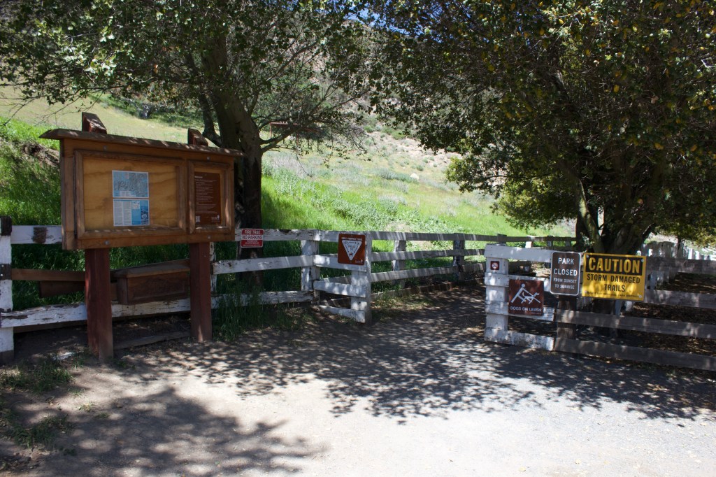

As you come to a horse corral with a large sandstone outcropping next to it, make a left onto the fire road and continue on. Leaving the asphalt behind, you travel along a fire road through oak and bay woodland along Tassajara Creek. Although it’s still technically road walking, this section is pretty interesting as its heavily wooded and has some fairly steep parts high above the creek.

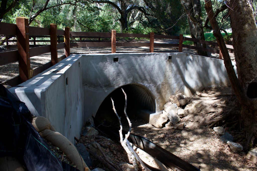
This portion of Tassajara Creek is typically bone dry; However, in wet years, it can swell significantly. In 2017, a portion of road was washed out (I will update this post with video of a waterfall it created at a later time). Thanks to the East Bay Regional Park District, the section was reconstructed this year.
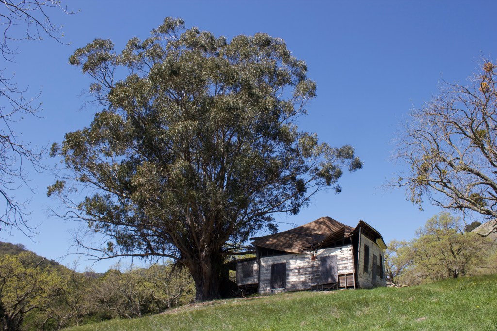
As you continue, you will come up to the old slaughterhouse (or at least that is what my friends who grew up in the area say it is). Tassajara translates into, “place where the meat is hung,” according to the Museum of the San Ramon Valley. It looks in worse shape every time I pass through, but it’s always awesome to witness some of the area’s ranching history.

After passing the slaughterhouse, you will want to make a left onto the Oyster Point Trail and head towards the creek.
You will pass through the creek bed and stay on for about two miles. This is some nice, well-maintained single track. Most of the climbing starts after you cross the creek, and continues to do so for another three quarters of a mile.

After the trail opens up and you hit a switchback, the trail begins to mellow out and continues to climb gradually along the hillside.


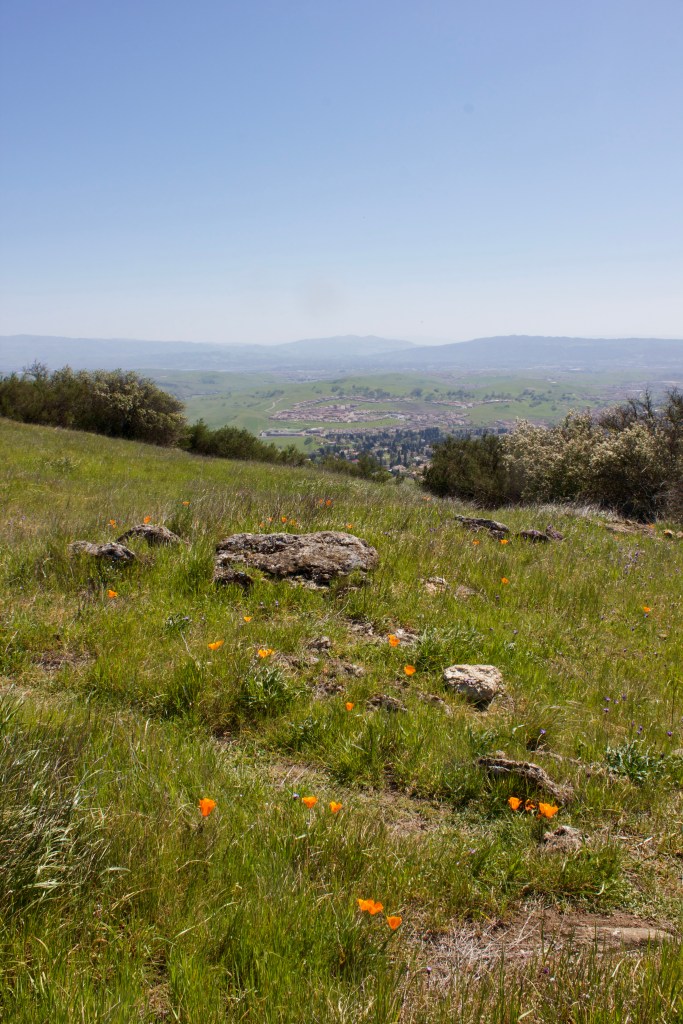
As you continue another mile or so, the trail enters an expansive meadow. This is one of my favorite parts of the hike. A sense of real solitude, and the large sandstone outcroppings make for a dramatic setting.

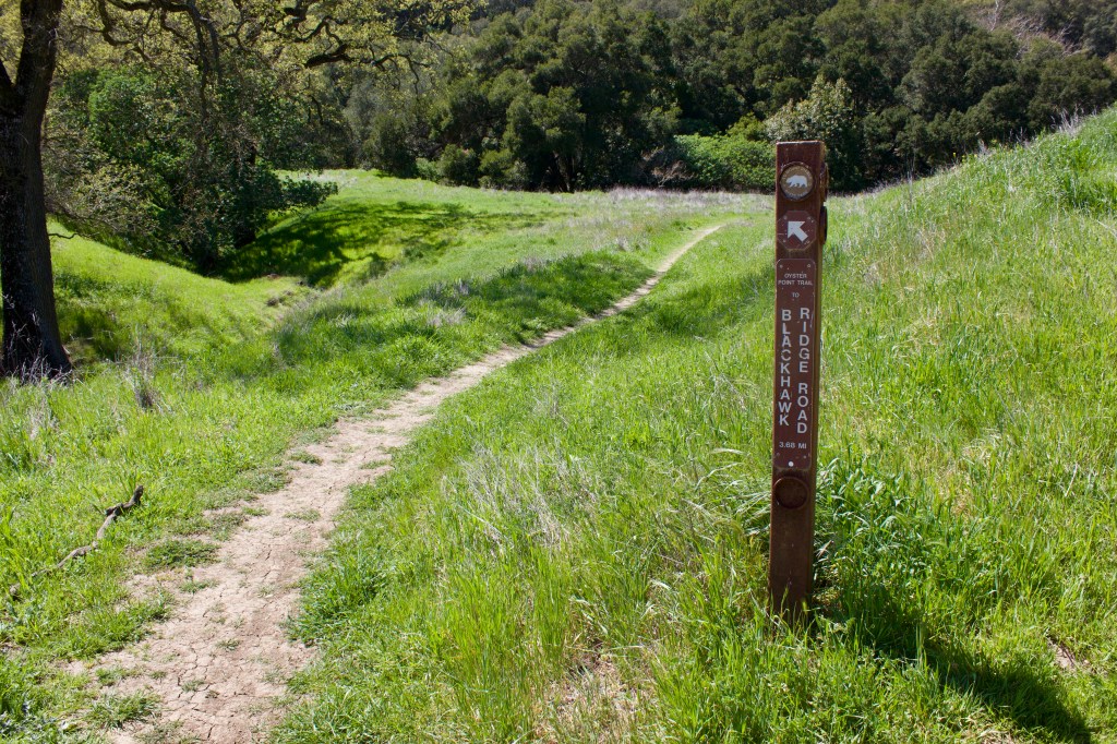
As you walk through the meadow, you will come to a trail marker near a large oak. This is where you will want to take the faint trail up to Oyster Point.


Follow the trail up and you will enter another beautiful meadow. Once you reach the crest, the almost-360 view opens up.
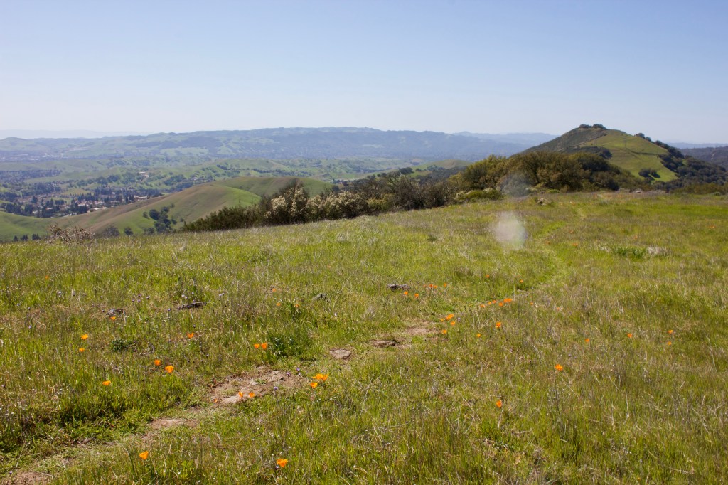
If you continue up the trail, you reach Oyster Point.

The Ceanothus was blooming in early April, emitting intense fragrance that was carried up the hill by the wind. A wonderful experience to both see and smell. The views from the top are not as dramatic as those from the meadow, but it’s a very nice ridge to walk on. There were quite a few turkey vultures up here, as well.


Head back the way you came, or explore some of the surrounding area.
Thanks for reading!

Looks like quite the hike!
LikeLike